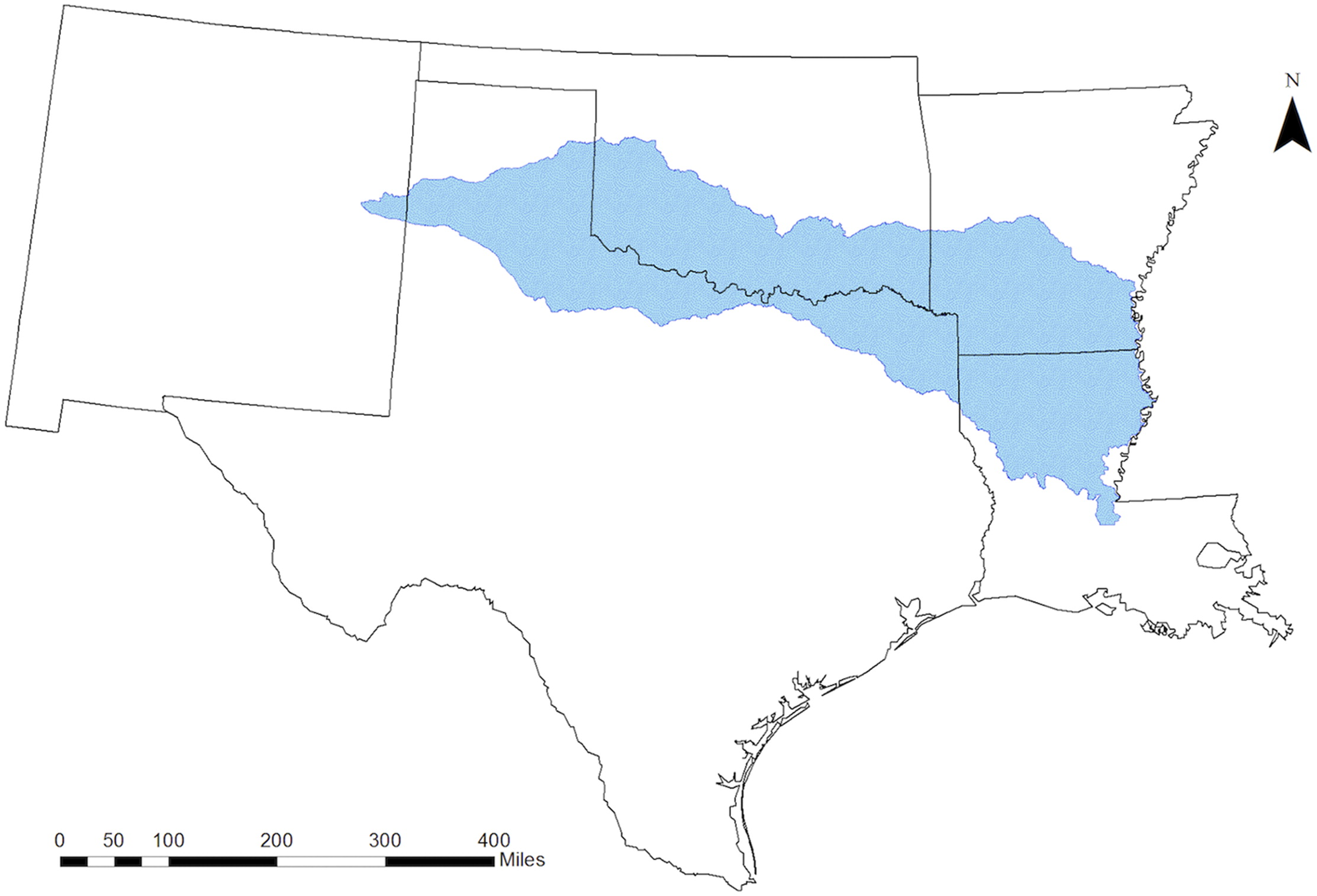
Future Hydrologic Extremes of the Red River Basin
June 6, 2018
Hydrologic extremes of drought and flooding stress water resources and damage communities in the Red River basin, located in the South Central United States. For example, the summer of 2011 was the third driest summer in Oklahoma state history and the driest in Texas state history….
Read more about this project here
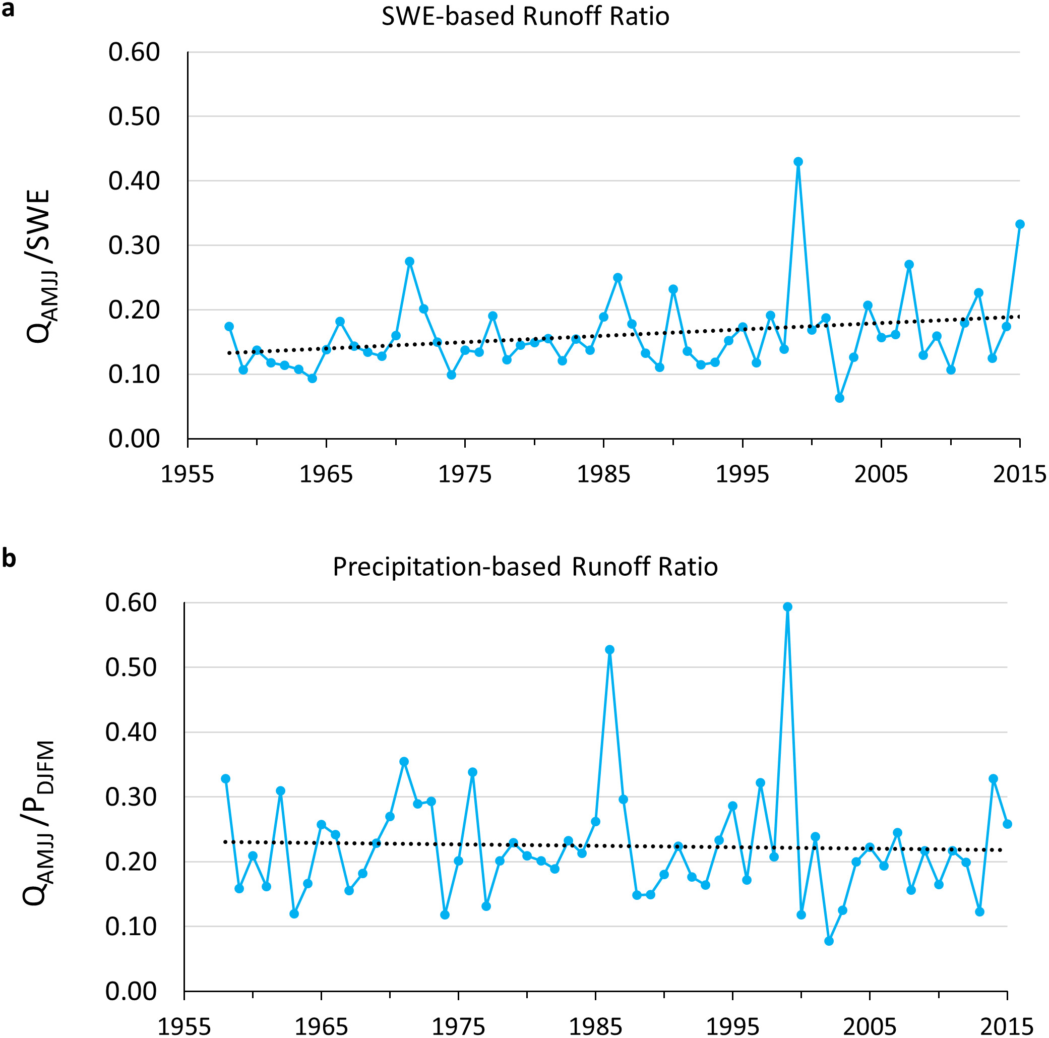
Observed Changes in Climate and Streamflow in the Upper Rio Grande Basin
June 2018
Observed streamflow and climate data are used to test the hypothesis that climate change is already affecting Rio Grande streamflow volume derived from snowmelt runoff in ways consistent with model-based projections of 21st-Century streamflow….
Read more about this project here
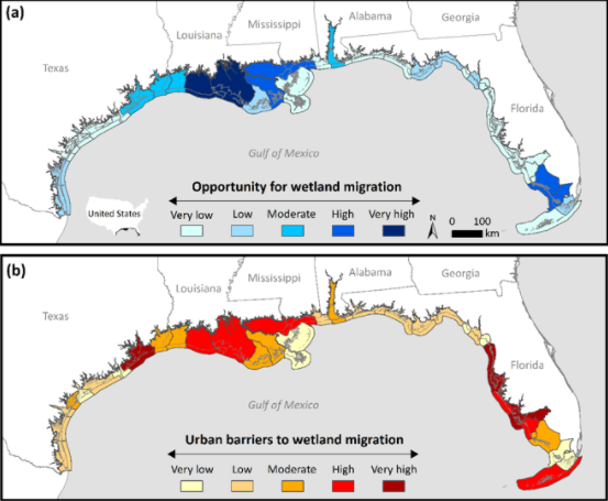
Landscape Conservation Design for Enhancing the Adaptive Capacity of Coastal Wetlands in the Face of Sea-Level Rise and Coastal Development
April 12, 2018
Coastal wetlands provide many valuable benefits to people and wildlife, including critical habitat, improved water quality, reduced flooding impacts, and protected coastlines. However, in the 21st century, accelerated sea-level rise and coastal development are expected to greatly alter coastal landscapes across the globe….
Read more about this project here
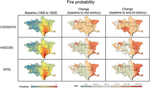
Future South Central US Wildfire Probability due to Climate Change
February 26, 2018
Globally, changing fire regimes due to climate is one of the greatest threats to ecosystems and society. In this paper, we present projections of future fire probability for the South Central USA using downscaled climate projections and the Physical Chemistry Fire Frequency Model (PC2FM)….
Read more about this project here
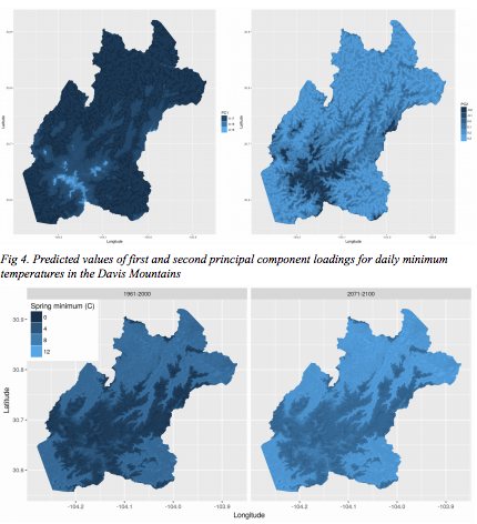
Predicting Sky Island Forest Vulnerability to Climate Change
January 2018
In the southwestern United States, desert mountain ranges are “islands” of forest in a sea of dry grasslands and desert shrubs. It is likely that this region will face a hotter climate in the future….
Read more about this project here